
How many cities do you consider smart that you have ever being on? Well, as you know that Smart Cities are cities that use technology to provide their citizens with a better quality of life. Inside smart cities, different types of Internet of Things are used to collect Big Data.
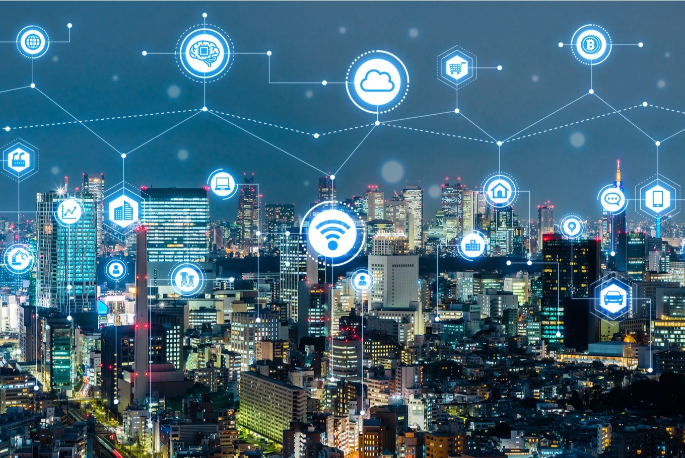
However, this results to use of Big Data in conjunction with systems powered by Artificial Intelligence to optimize city services such as traffic monitoring, transportation, power management, water management, waste management, crime detection, emergency management.
In smart cities, this interconnectivity allows citizens to work more efficiently while working fewer hours. The efficiency of the cities allows citizens to enjoy more free time. The sustainability of a healthy environment allows citizens to live healthier lives.
Smart Cities need “Smart” Software Development
Smart Cities thrive on the foundation of connecting people together through the Internet of Things (devices), Artificial Intelligence enabled Systems and Big Data Analytics. Each part of the process requires “Smart” Software Development.
Below are some of the Benefits of Smart Cities
As part of the #SmartCities Mission, Solapur has established a state-of-the-art Transfer Station for better management of waste.
— MoHUA (@MoHUA_India) December 11, 2019
With the use of modern technology, cities and ULBs will be able to handle, segregate and dispose off the waste in a phased manner#TransformingIndia pic.twitter.com/dGHcwymwD8
…and that’s a wrap!
— Smart City Expo Atlanta (@SmartCityATL) November 21, 2019
We had an incredible time learning more about #urbaninnovation and all things #cities at #SCEWC19 with our team and friends at @SmartCityExpo in Barcelona. Looking forward to bringing the global conversation to Atlanta in June! #SCATL20 #CitiesMadeofDreams pic.twitter.com/uaIeBfZSeP
To achieve better illumination, usage of energy-efficient technology and to shoulder the targets of National Mission for Enhanced Energy Efficiency, Surat Smart City has successfully completed its Smart Street Lighting Project. #TransformingIndia pic.twitter.com/u9YG5xVHPC
— Smart Cities Mission (@SmartCities_HUA) December 4, 2019
Cities explore #digital #mobility platforms
— The Smart City (@_smartcity_) November 11, 2019
Accelerating the realization of seamless, integrated transportation#smartcitied #digitaltransformation #autonomous #iot #futureofmobilitx #maas #caas #ondemand@DeloitteStratOp @DeloitteInsight
RT @WSWMUC https://t.co/8mpVoLsJBl pic.twitter.com/NNI71IOKQd
SUBSCRIBE TO OUR YOUTUBE CHANNEL BELOW TO WATCH MORE VIDEOS
Smart City Management and Planning Software
Beyond day-to-day operations, cities rely on smart city management software and planning tools to model growth, coordinate departments, and turn sensor data into decisions. Many of these platforms build on Internet of Things applications to connect infrastructure across the city.
Smart City Software Solutions Cities Actually Use
Search for smart city software solutions and you get a wall of vendor pages, but a real deployment is rarely a single product. A city usually stitches together a handful of systems that each own a slice of the job. An IoT data platform pulls in readings from traffic sensors, air-quality monitors and smart meters. GIS and planning tools (Esri’s ArcGIS is the one most planners will name) map that data onto the actual streets. Mobility software runs the transit and parking side, public-safety systems handle cameras and dispatch, and an analytics dashboard sits on top so staff are not stuck watching six screens at once.
That mix is why “software smart city” projects tend to live or die on integration rather than any one app. The platforms that survive procurement are the ones that talk to each other through open APIs, so a new sensor or a new department can be bolted on later without ripping everything out. If you are weighing options, start from the problem you actually need to fix, whether that is traffic, energy or permitting, and work back toward the solution instead of the other way around.
Frequently Asked Questions
What is smart cities software?
Smart cities software is the set of platforms and applications a city uses to collect and analyze data from sensors, cameras, and connected devices, then manage services like traffic, energy, water, waste, and public safety more efficiently.
What are examples of smart city software?
Common examples include traffic and transportation management systems, smart lighting and energy platforms, water and utility monitoring, waste-management dashboards, and citizen-services or e-government portals.
What are the main types of smart city software?
The main categories are IoT data platforms, GIS and city-planning software, public-safety and surveillance systems, mobility and transit apps, and analytics dashboards that tie all the data together.
Who builds smart city software?
A mix of specialized smart city software companies, large technology vendors, and in-house municipal development teams build it, often using open standards so different systems can share data.
What are the best smart city software solutions?
There is no single best pick; it depends on the domain. For mapping and planning, GIS suites such as Esri ArcGIS are the standard. For connected sensors, general IoT platforms do the work, and mobility, public safety and energy each have their own specialist tools. Most cities run several of these together rather than buying one all-in-one product, so the best solution is usually the stack that integrates cleanly with what the city already has.